File:High Trollar Map.png
Jump to navigation
Jump to search

No higher resolution available.
High_Trollar_Map.png (423 × 337 pixels, file size: 28 KB, MIME type: image/png)
A Map of the Tribelands of High Trollar. Subject to change if not usable in its current size.
File history
Click on a date/time to view the file as it appeared at that time.
| Date/Time | Thumbnail | Dimensions | User | Comment | |
|---|---|---|---|---|---|
| current | 13:24, 21 July 2014 | | 423 × 337 (28 KB) | Shayin (talk | contribs) | A Map of the Tribelands of High Trollar. This has changed to be formatted smaller than previously to fit the page. |
| 13:23, 21 July 2014 | 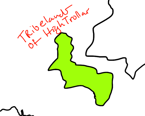 | 563 × 449 (37 KB) | Shayin (talk | contribs) | A Map of the Tribelands of High Trollar. Subject to change if not usable in its current size. |
You cannot overwrite this file.
File usage
There are no pages that use this file.